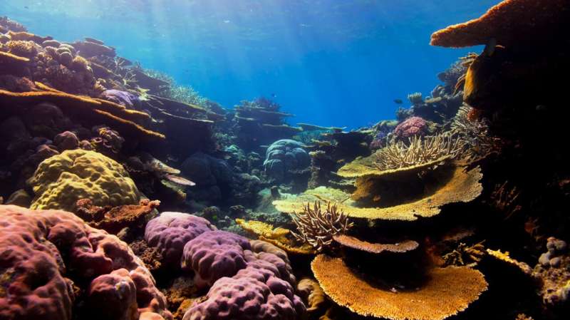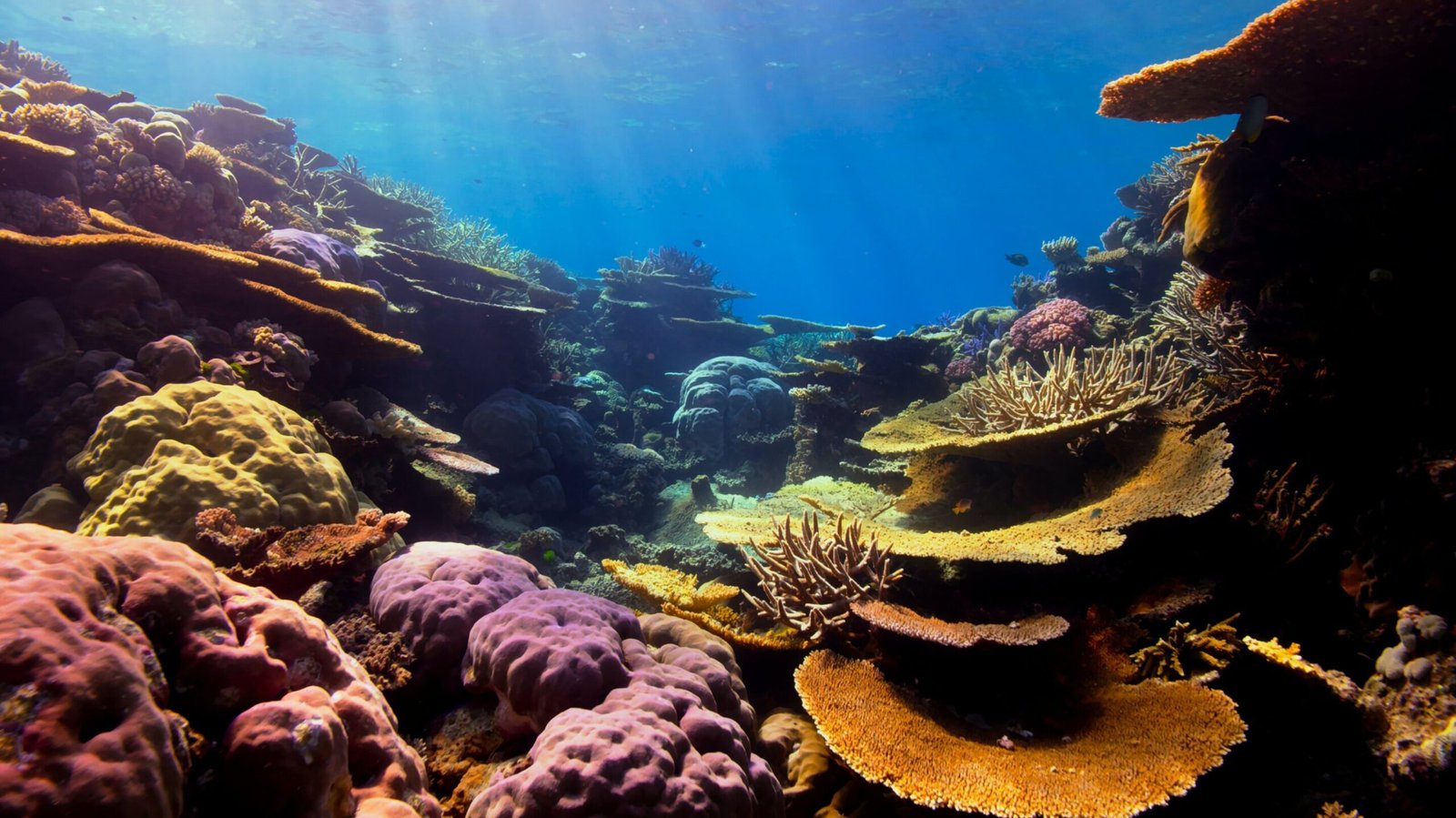
As a team of marine biologists, assessing the health of thousands of square meters of coral reef can be a daunting prospect. Often, we have to monitor some of the most biodiverse ecosystems on the planet, and there’s a strict time limit due to the safety regulations associated with Scuba diving.
Accurately measuring and classifying even small areas of reefs can involve spending many hours underwater. And with millions of reefs around the world that need monitoring in the face of looming threats to their existence, speed is critical.
But now, a digital revolution for coral reef monitoring could be underway, enabled by recent advances in low-cost camera and computing technology. Our new study shows how creating 3D computer models of entire reefs—sometimes known as digital twins—can help us monitor these precious ecosystems faster, more accurately and in greater detail than ever before.
We worked at 17 study sites in central Indonesia—some reefs were degraded, others were healthy or restored. We followed the same protocol at rectangular areas measuring 1000m² in each location, using a technique called “photogrammetry” to create 3D models of each reef habitat.
One of us Scuba dived and swam 2m above the coral back and forth in a “lawnmower” pattern across every square meter of this reef, while carrying two underwater cameras programmed to take photos of the seabed twice per second. Within just half an hour, we’d taken 10,000 high-resolution, overlapping pictures that covered the entire area.
Later, we booted up a high-performance computer, and with the help of specialist experts from an underwater science tech company called Tritonia Scientific, we processed these images into accurate 3D representations for each of the 17 sites. The resulting models surpass traditional monitoring methods in speed, cost and the ability to consistently reproduce accurate measurements.
Our research paper applies this technique to assess the success of the world’s largest coral restoration project. Mars Coral Reef Restoration Project is located at Bontosua Island on the Spermonde Archipelago in South Sulawesi, Indonesia.
Our findings show that, when well-managed, coral restoration efforts can bring back many elements, including the complexity of reef structure across large areas. By comparing the 3D models, we can see how complex the surface structure of the coral reef looks and measure its details at different scales—these aspects would be far too tricky for divers to accurately measure underwater.
In an earlier 2024 study, our team applied photogrammetry to measure coral growth rates at the level of individual colonies. By capturing detailed 3D models before and after a year of growth, we revealed that restored reefs can achieve growth rates comparable to healthy natural ecosystems.
This finding is particularly significant, as it highlights the potential for restored reefs to recover and function similarly to untouched reef environments.
Beyond coral reefs
Photogrammetry is becoming a widely adopted tool across various fields, both on land and in the ocean. Beyond coral reefs, it is used to monitor forests with drones, develop detailed architectural and urban planning models, and monitor soil erosion and landscape changes.
In marine environments, photogrammetry is a powerful tool for monitoring and measuring environmental changes such as variations in coral cover, shifts in species diversity and alterations in reef structure. It has also been used to develop cost-effective methods for measuring coral reef rugosity (the bumpiness or texture of the reef’s surface).
Greater rugosity generally indicates more complex habitats, which can support a wider variety of marine life and reflect healthier reef systems. Additionally, it measures the complexity of different shapes and structures within the reef. These methods provide crucial baselines that help scientists like us track changes over time and design effective conservation strategies.
Although this method is cheaper and quicker than traditional fieldwork, there are still significant financial barriers. The necessary equipment and software can range from several thousand to tens of thousands of dollars, depending on the specific equipment and software used, and mastering these techniques takes time. It may be some time before these methods become standard for most field biologists.
Beyond coral reef monitoring, photogrammetry is increasingly being used in virtual reality and augmented reality development, enabling the creation of immersive, lifelike environments for education, entertainment and research. For example, The US agency National Oceanic and Atmospheric Administration’s coral reef virtual reality offers an engaging way to explore coral reefs through virtual reality.
In the future, photogrammetry could revolutionize environmental monitoring by offering faster, more accurate baselines and assessments of ecosystem changes such as coral bleaching and shifts in biodiversity. Advances in machine learning and cloud computing are expected to further automate and enhance photogrammetry, increasing its accessibility and scalability, and establishing its role as an essential tool in conservation science.
Provided by
The Conversation
This article is republished from The Conversation under a Creative Commons license. Read the original article.![]()
Citation:
Our digital 3D models of huge coral reefs could help revive these precious ecosystems (2024, September 23)
retrieved 23 September 2024
from https://phys.org/news/2024-09-digital-3d-huge-coral-reefs.html
This document is subject to copyright. Apart from any fair dealing for the purpose of private study or research, no
part may be reproduced without the written permission. The content is provided for information purposes only.
